Field Camps
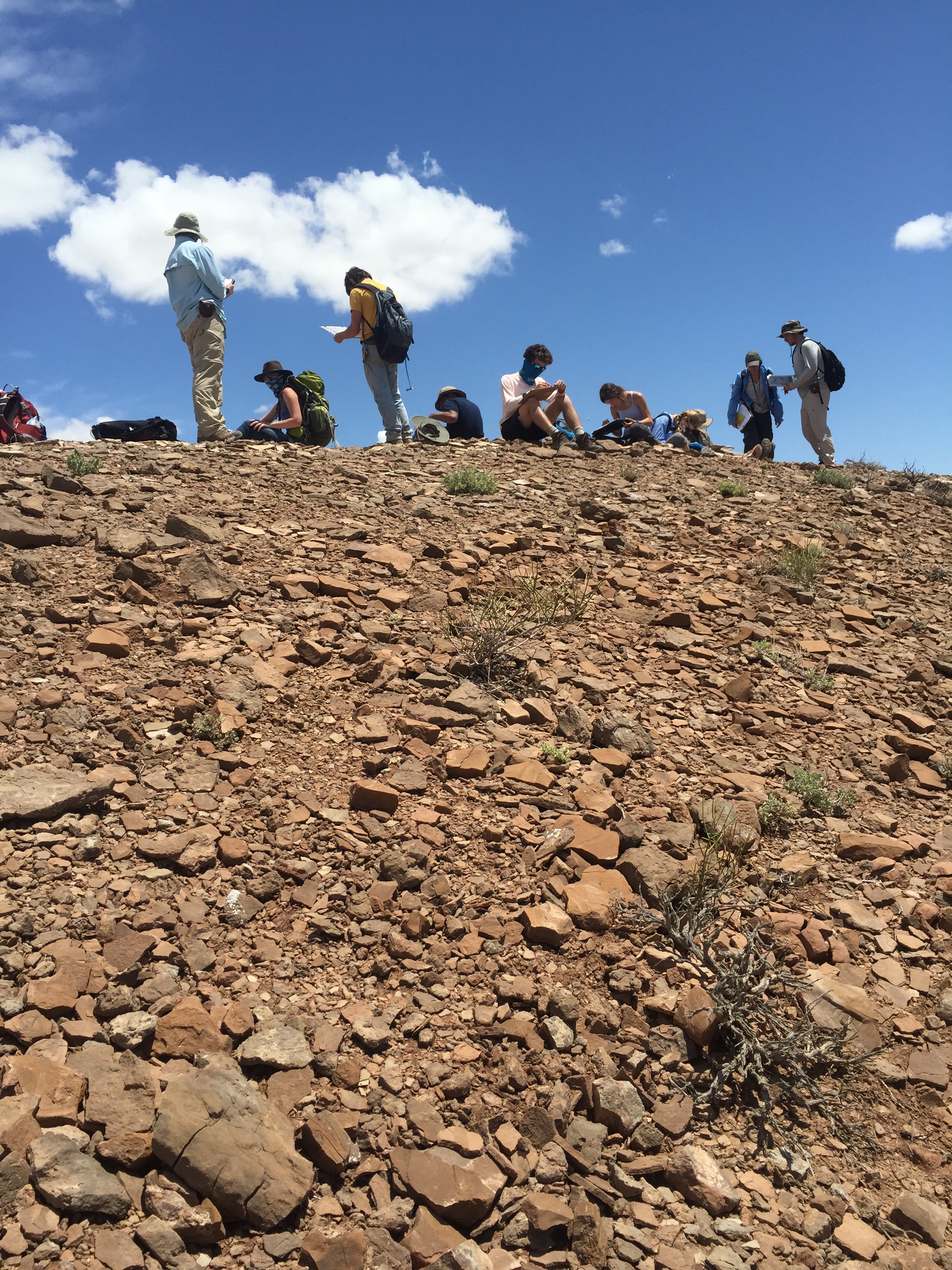
Fieldwork is an integral part of the Jackson School of Geosciences experience. Each summer, field camps led by Jackson School faculty enable geoscience students to literally get their hands dirty and feet wet as they study the processes that shaped the landscapes that surround them. Being primarily for undergraduates, these courses are many students’ first introduction to geosciences outside of the classroom.
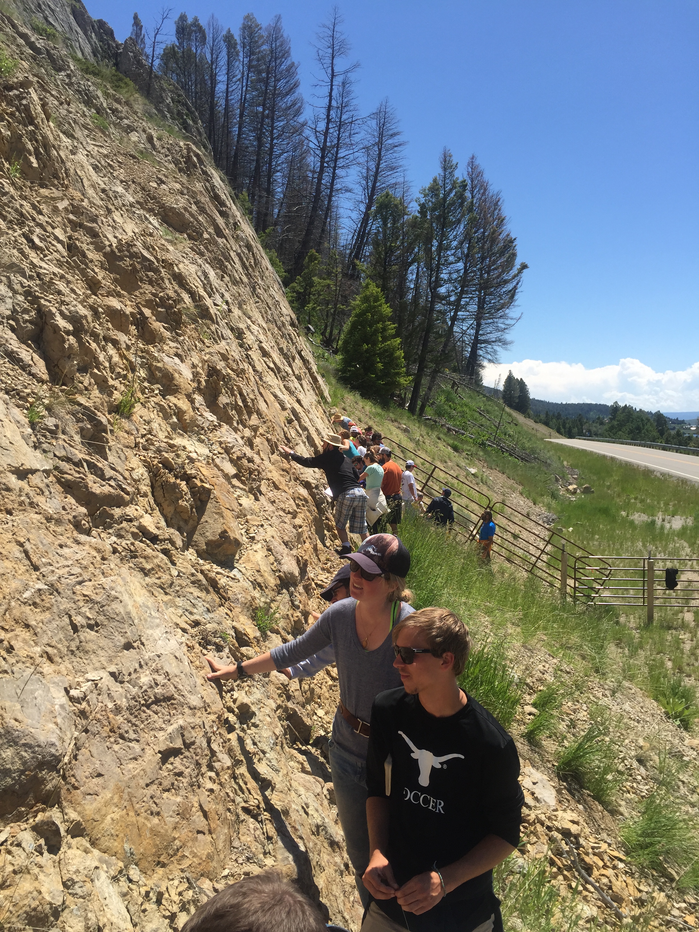
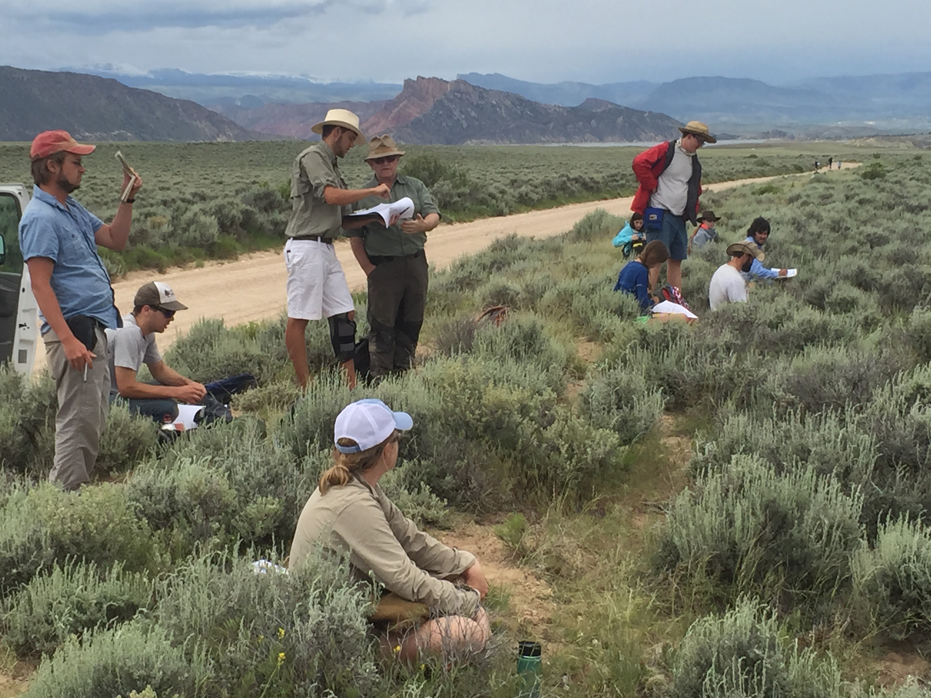
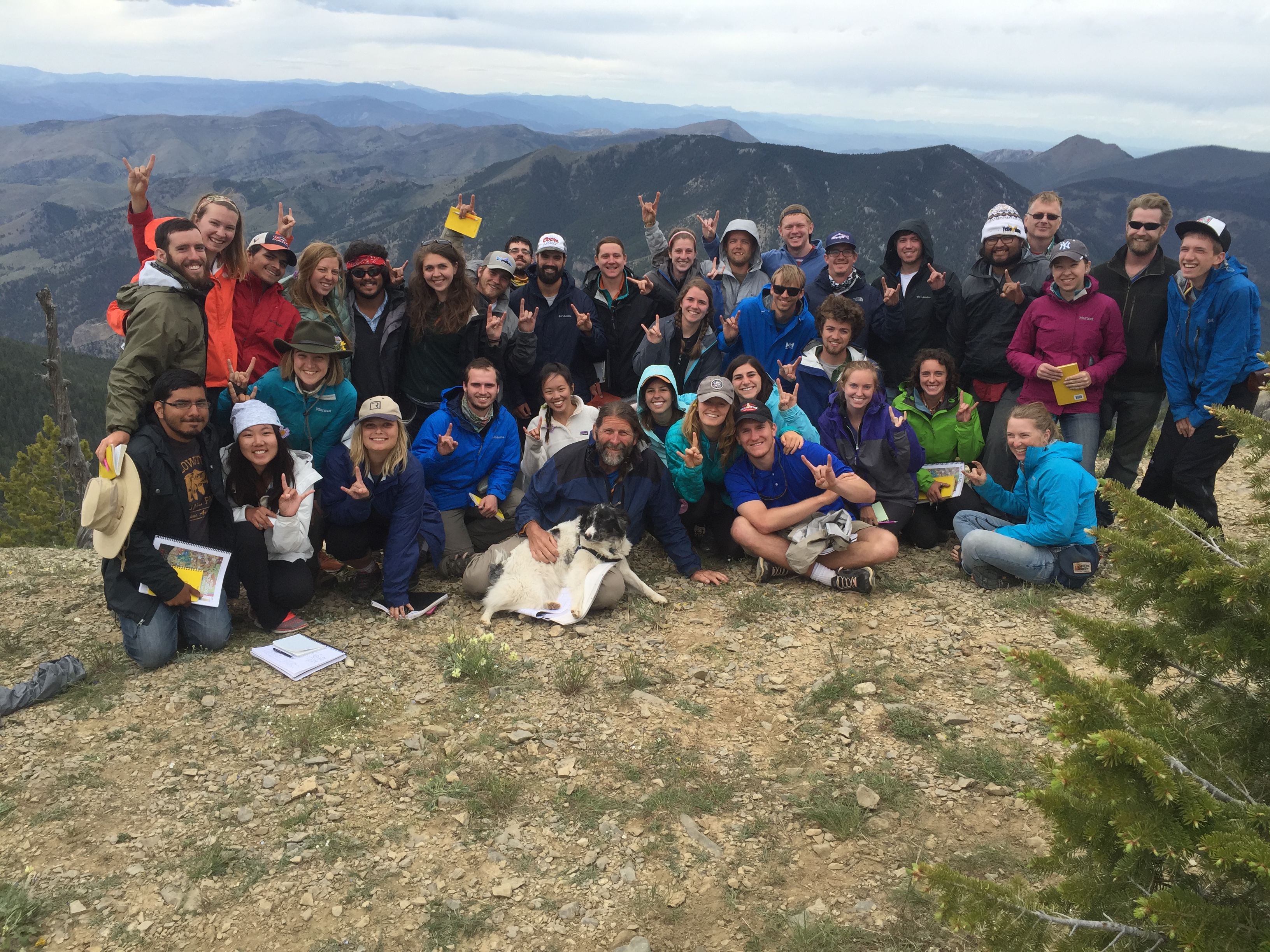
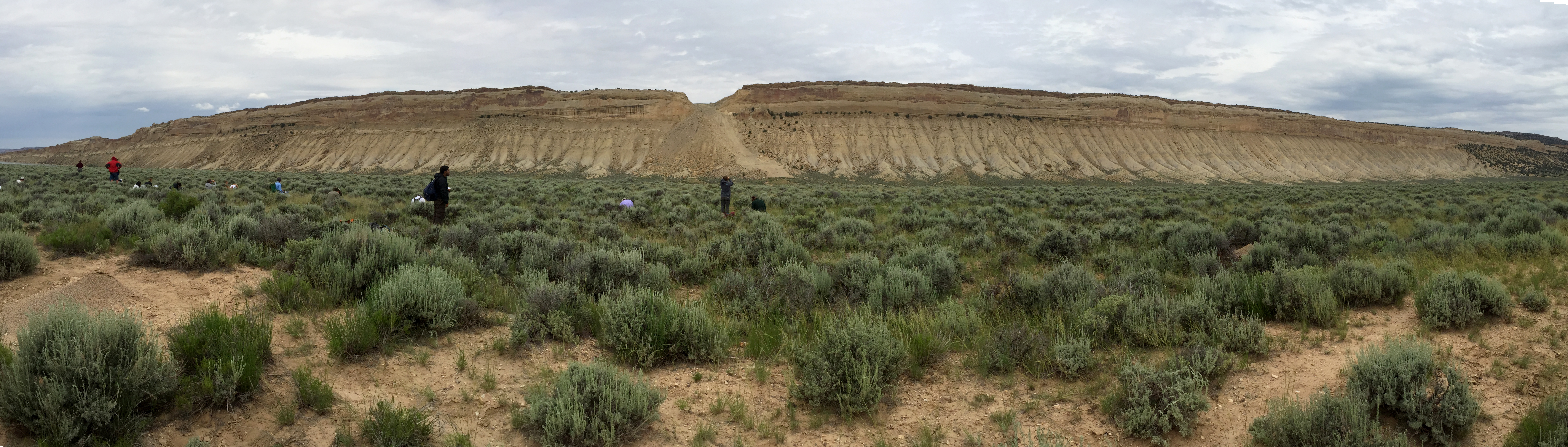
Geology 660
“Field camp is where the pieces click together — tectonics, glaciation, modern alluvial deposition volcanics. All layered together and for the first time it is our job to separate them, understand how one process affects another. We must read what is exposed on the surface and tell the story!” said Natalie Raia
Marine Geology and Geosciences
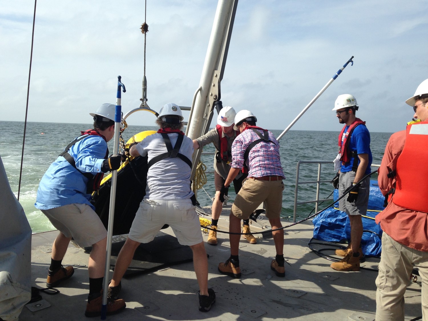
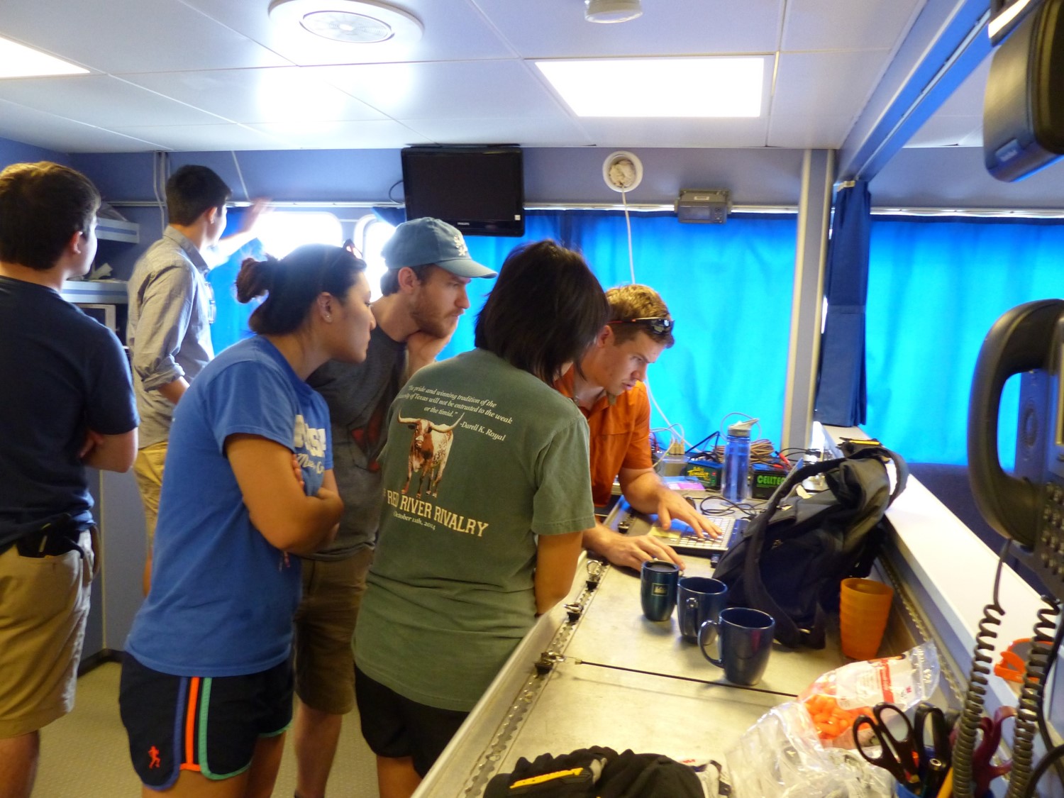
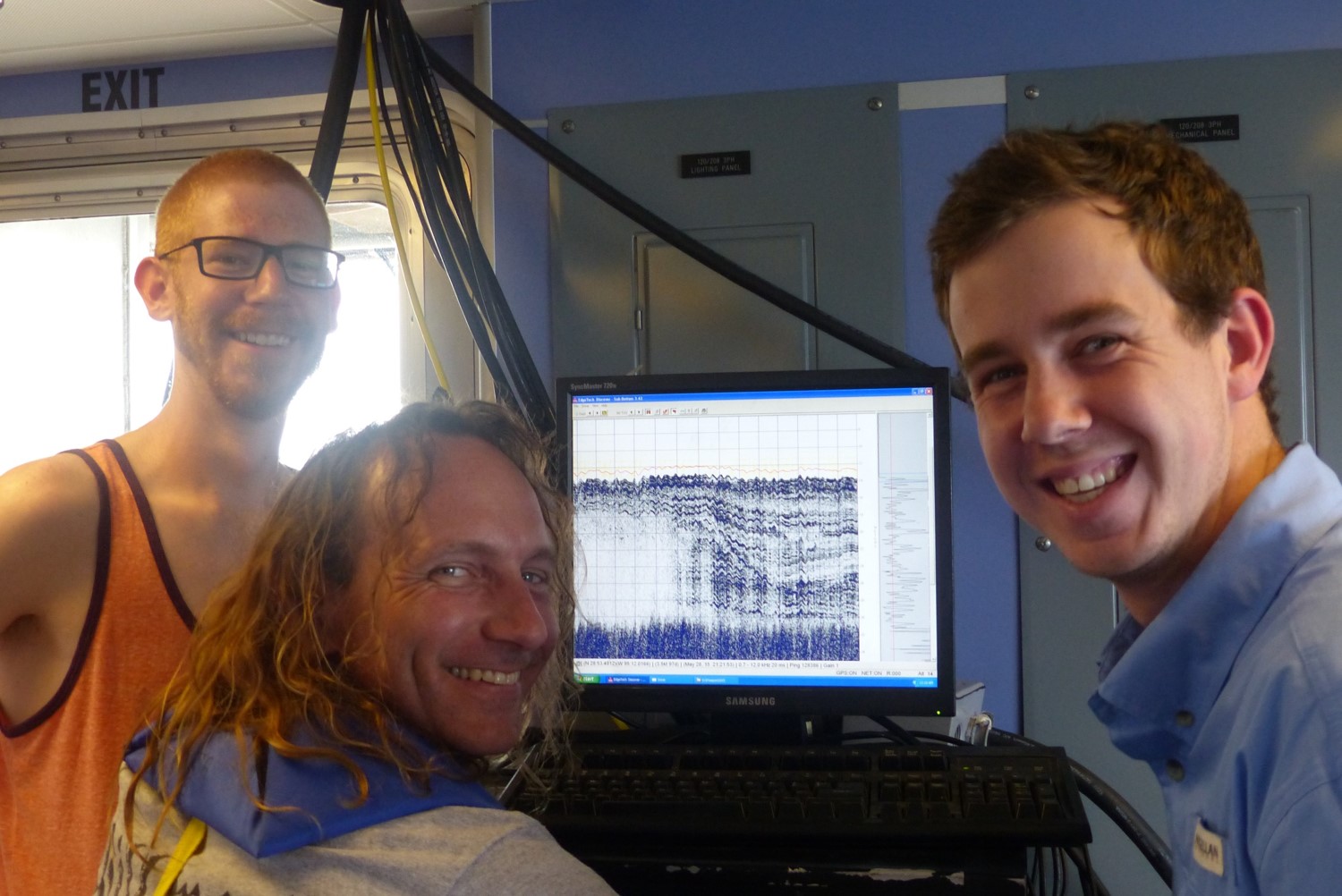
In 2015, the Marine Geology and Geosciences field course went to Freeport for the first time. The class examined the lower Brazos River and adjacent fluvial systems as well as the ancestral versions of these river systems where they carved into the Texas shelf during the last sea level low stand. During the course, the Brazos River went into flood stage due to the major rainfall in May, providing opportunities
for the students to study sedimentary processes in action.
“I loved this course. I don’t know what I was expecting, but I was really impressed by how realistic an experience the instructors managed to create while compressing the lifecycle of a research project into three weeks,” said Laura Lindzey
Hydrology
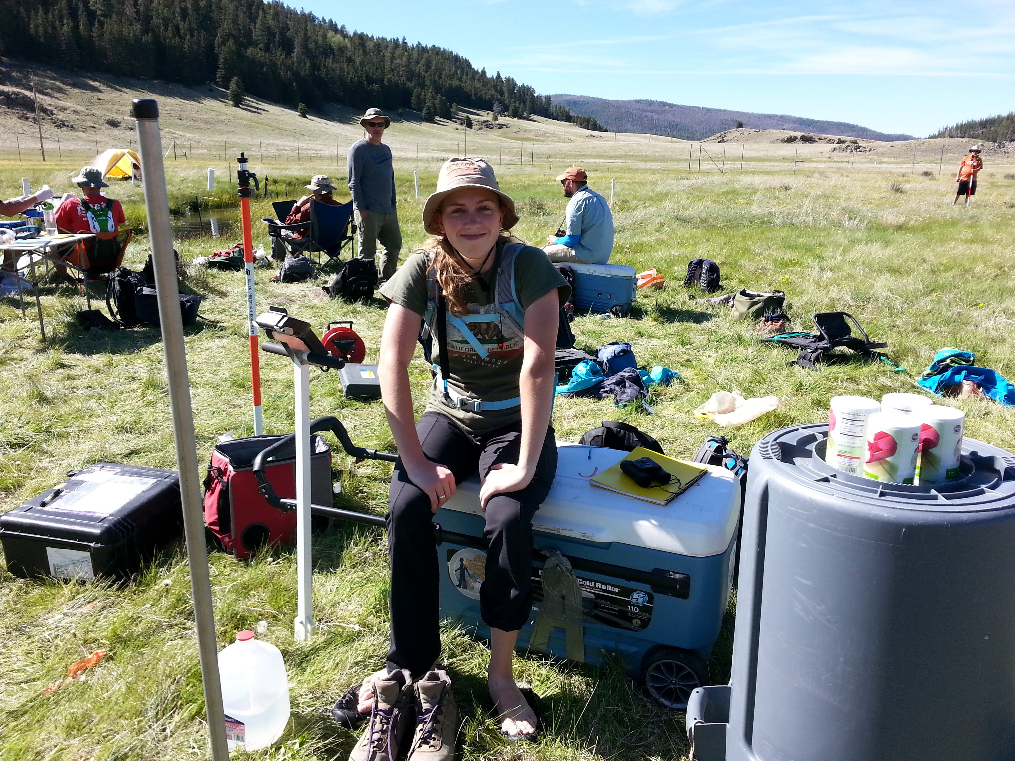
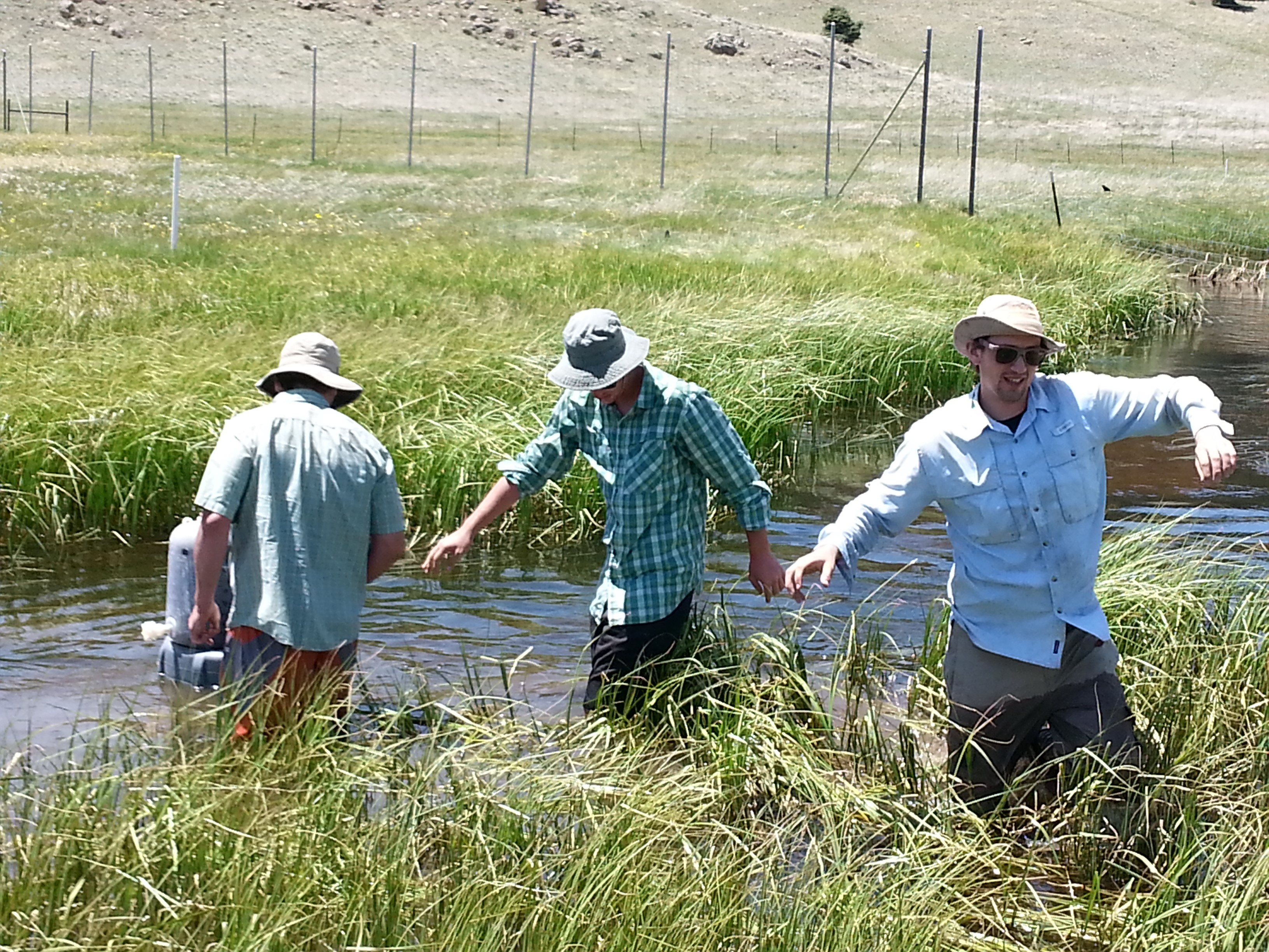
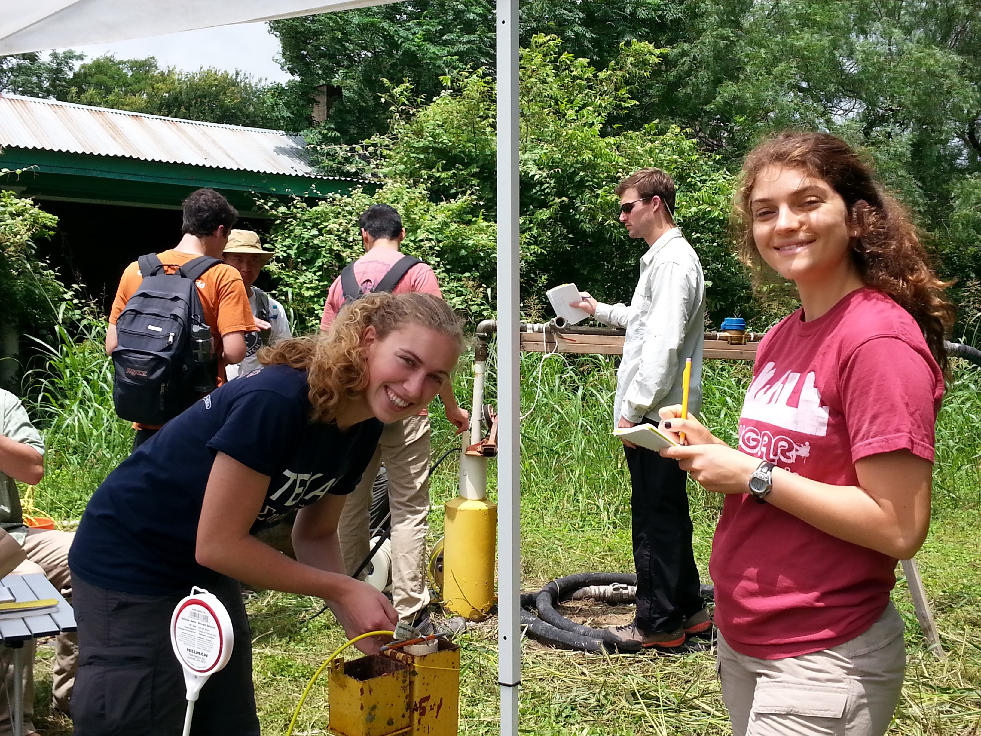
The hydrology field class brought 15 students to the Valles Caldera preserve in the Jemez Mountains for a week of studying mountain hydrology and shallow groundwater processes. The students conducted field work such as stream gauging, a dye trace, water sampling, ground-penetrating radar and slug tests. They also conducted a 24-hour pump test in Hornsby Bend in Austin.
“It was an absolutely incredible experience. Despite being unfamiliar with most [people in] the class, the vast and beautiful landscape instilled a unique sort of camaraderie amongst us all,” said Ian Hanes.